GeoAI Wildfire Risk, California
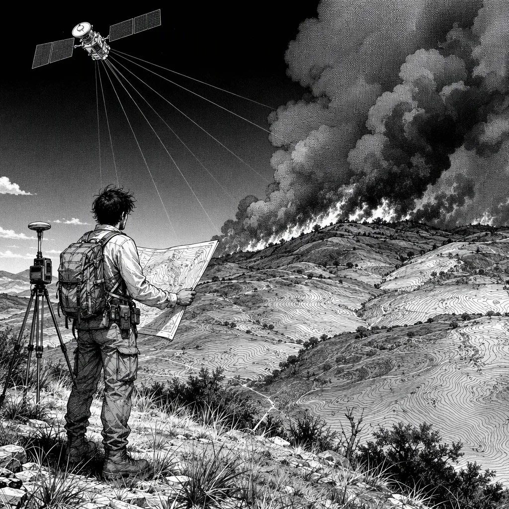
THE PROBLEM
Underwriters and mitigation planners were making wildfire decisions in California from tables of scores with no geography in them, while the actual drivers — terrain, vegetation, weather — interact on a map. Existing tooling flattened everything to CSV and lost exactly the spatial relationships that carry the risk. I built a risk surface instead, and paid the entry fee everyone pays in geospatial: mismatched projections and resolutions silently misaligned my label rasters until I made alignment an explicit, validated stage.
CONSTRAINTS
- Inputs are rasters and vectors in mismatched projections and resolutions
- Labels are historical fire perimeters, sparse and biased
- Seasonal weather makes risk a moving target
- Outputs must render as maps underwriters and planners can read
DECISIONS & TRADEOFFS
RASTER-NATIVE PIPELINE over flatten-to-CSV — because resampling terrain, vegetation, and weather into aligned grids preserves the spatial relationships the model exists to learn
GRADIENT-BOOSTED TREES over deep learning — because tabular spatial features with scarce biased labels reward a model that is interpretable and does not need a data center to train
MAP TILES over dashboard tables — because risk that renders as a surface over the landscape gets used; risk in a spreadsheet gets ignored
ARCHITECTURE
OUTCOME
Risk now comes out as a continuous surface over California terrain that updates as conditions change, so mitigation conversations start from a map of where, not a debate about whose spreadsheet is right. Underwriters can interrogate the model feature by feature, which is what makes the output defensible instead of decorative.
PROOF / LINKS
AT 100× SCALE
At 100x this becomes an operational risk service: near-real-time weather-driven re-scoring, per-parcel risk feeds for insurers and utilities, and model-drift monitoring across fire seasons.